Timeline: This project began in May of 2017 within South Fork Eel River streams. We expanded our study area in 2018 to include streams throughout the entire Eel River Basin, all streams that flow into the Humboldt Bay, and coastal watersheds north of the Humboldt Bay up to Redwood Creek. We expanded our study area to the Klamath River Basin within California in 2019-2020.
Project Description and Goals: This project is being conducted through the Cal Poly Humboldt River Institute with Alison O'Dowd and Bill Trush as the principal investigators. As a collaborative project with University of California, Davis and the California State Water Board, this stream classification project aims to inform instream flow needs for ecological processes as they pertain to allocation of water diversions throughout Northern California coastal streams. The River Institute’s primary role in this effort is to collect stream geomorphology data including stream slope, streambed hydraulic controls, channel width, and sediment size. We also are working to provide for project partners our specialized, local knowledge of connections between river processes and ecological interactions on the North Coast.
Documents

Research Scientists Mason London (left) and Emily Cooper (right) work with field technicians Priscilla Winters (center-left) and Ali Singh (center-right) to collect stream geomorphology data in the Mad River near Blue Lake, CA.
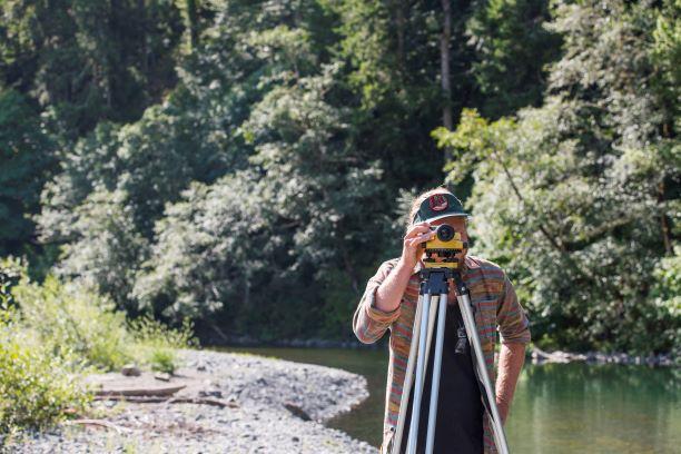
Field Technician Jesse Ritchie uses a surveyor's level to measure stream slope in the Mad River.